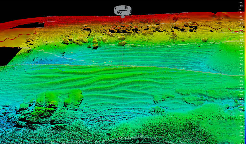
Bathymetry is the science of measuring and mapping the topography and depth of subaqueous beds (oceans, seas, lakes, and rivers). Bathymetric charts provide a detailed representation of the submerged relief, displaying depth contours (isobaths), underwater ridges, canyons, valleys, and other benthic topographic features.