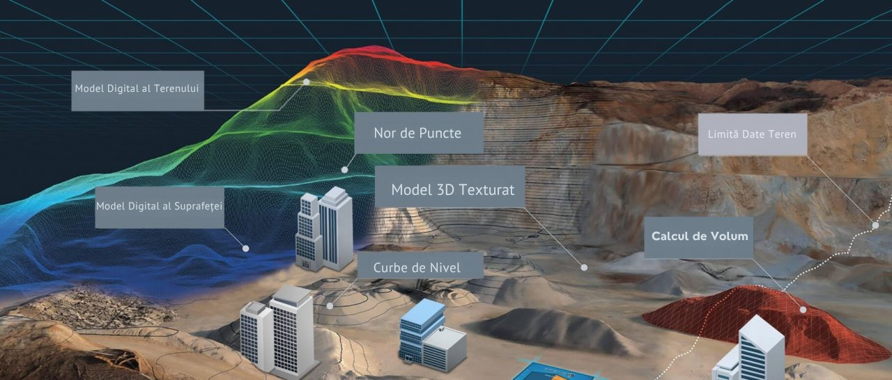
Mapping conducted using unmanned aerial vehicles (UAVs) is a mapping process that includes aerial photogrammetry and data collection methods. UAVs, commonly referred to as drones, have the capability to capture aerial photographs of the Earth's surface or collect data through sensors. Drone mapping is utilized in various fields. For instance, it is highly beneficial in numerous areas such as terrain analysis, urban planning, agricultural and forestry management, disaster management, and construction projects.