Terrestrial Laser Scanning
Device
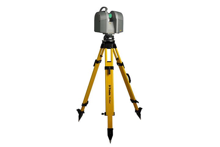
Through the static terrestrial laser scanning method, a high-density 3D point cloud is obtained, containing precise information about the coordinates (XYZ) of all scanned surface details, utilizing the Time-of-Flight measurement technology of the laser pulse.
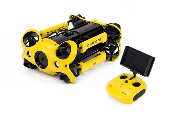
Underwater Drone Scanning
Device
Underwater drones, known as ROVs (Remotely Operated Vehicles), are remotely controlled robotic systems capable of operating underwater, maneuvered by an operator at the surface or by a diver.
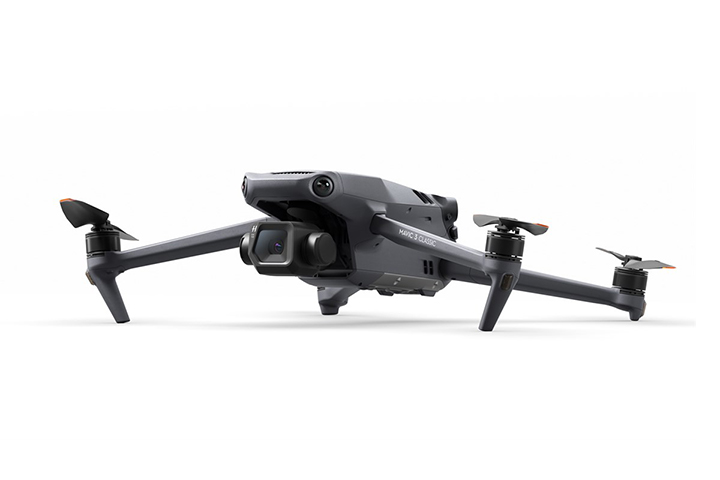
Drone Surveying
Device
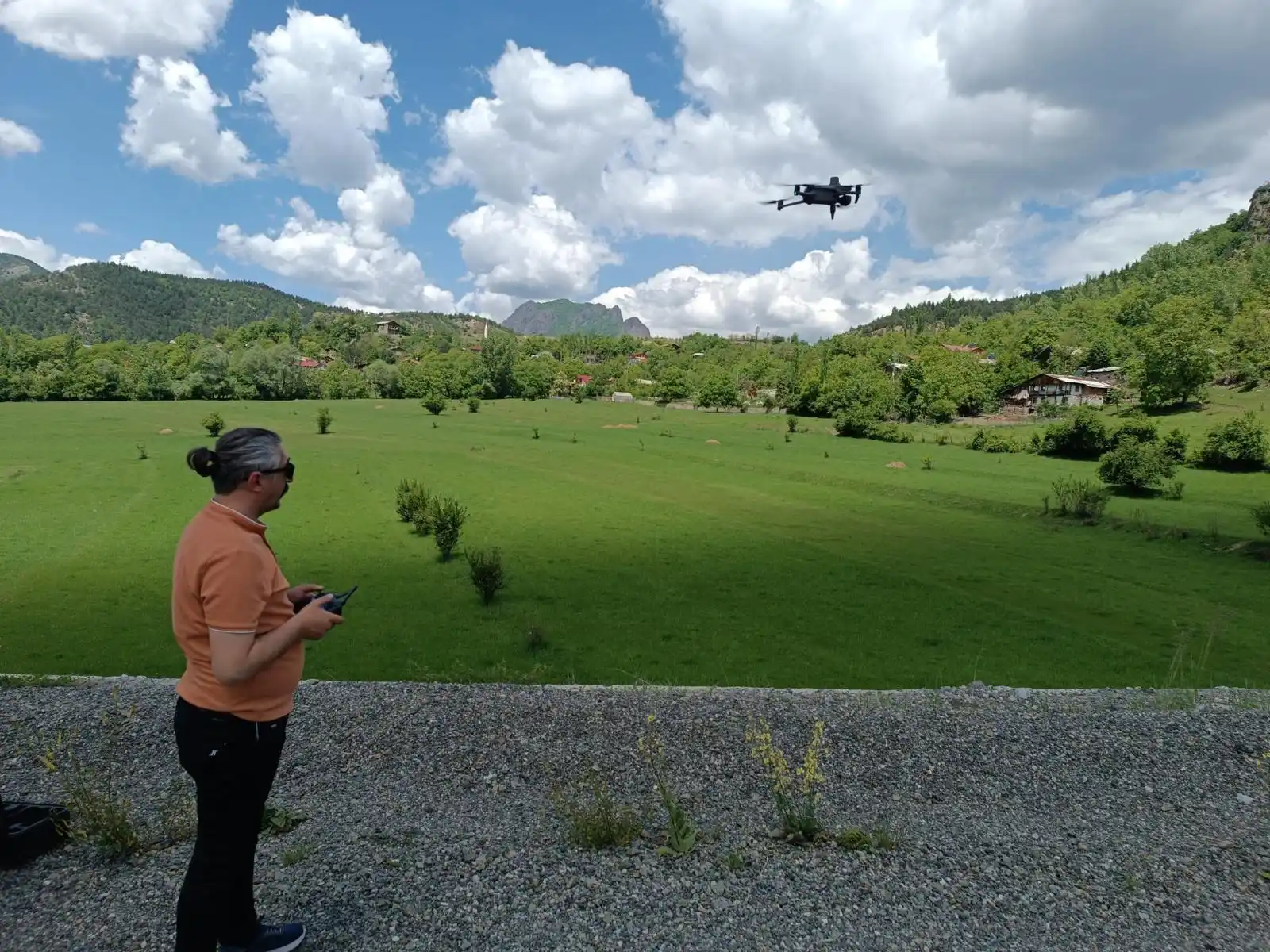
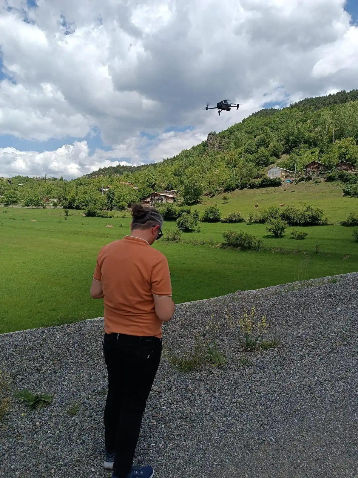
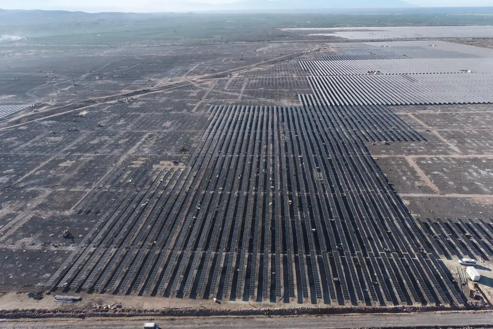
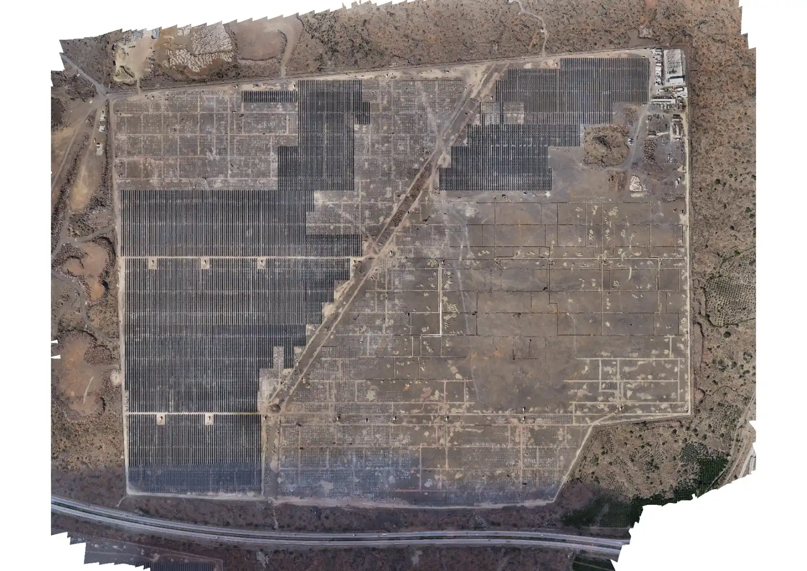
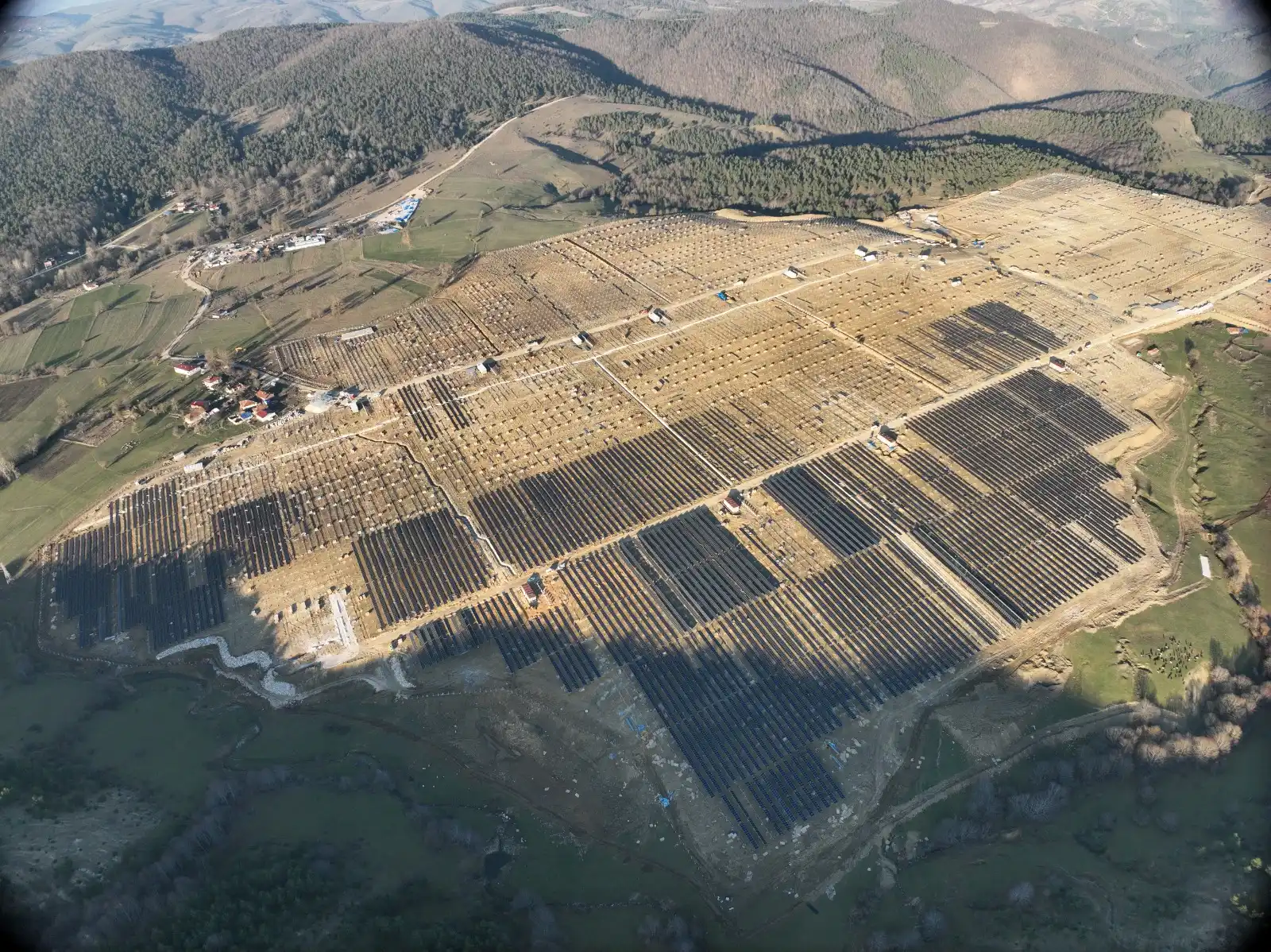
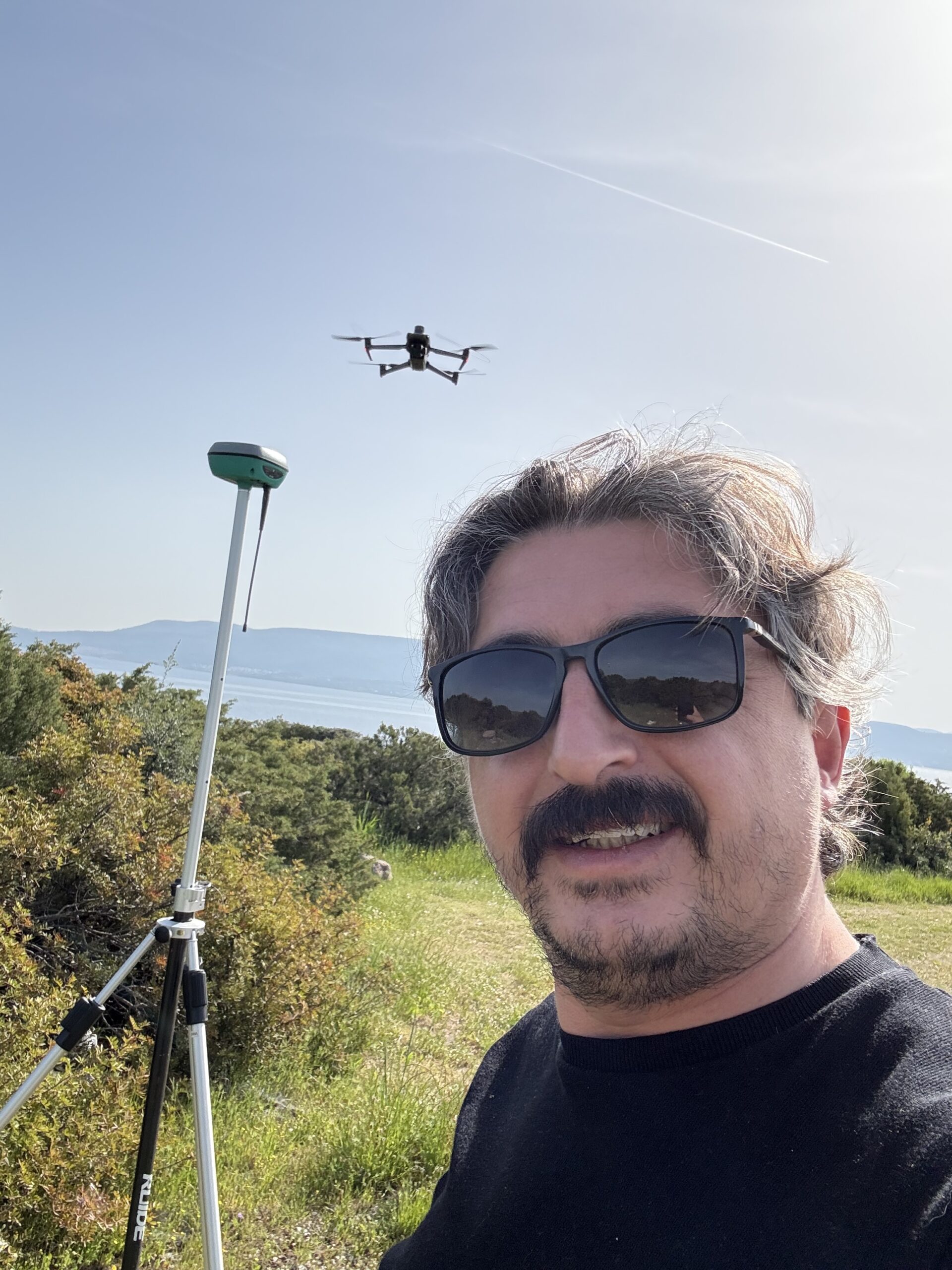
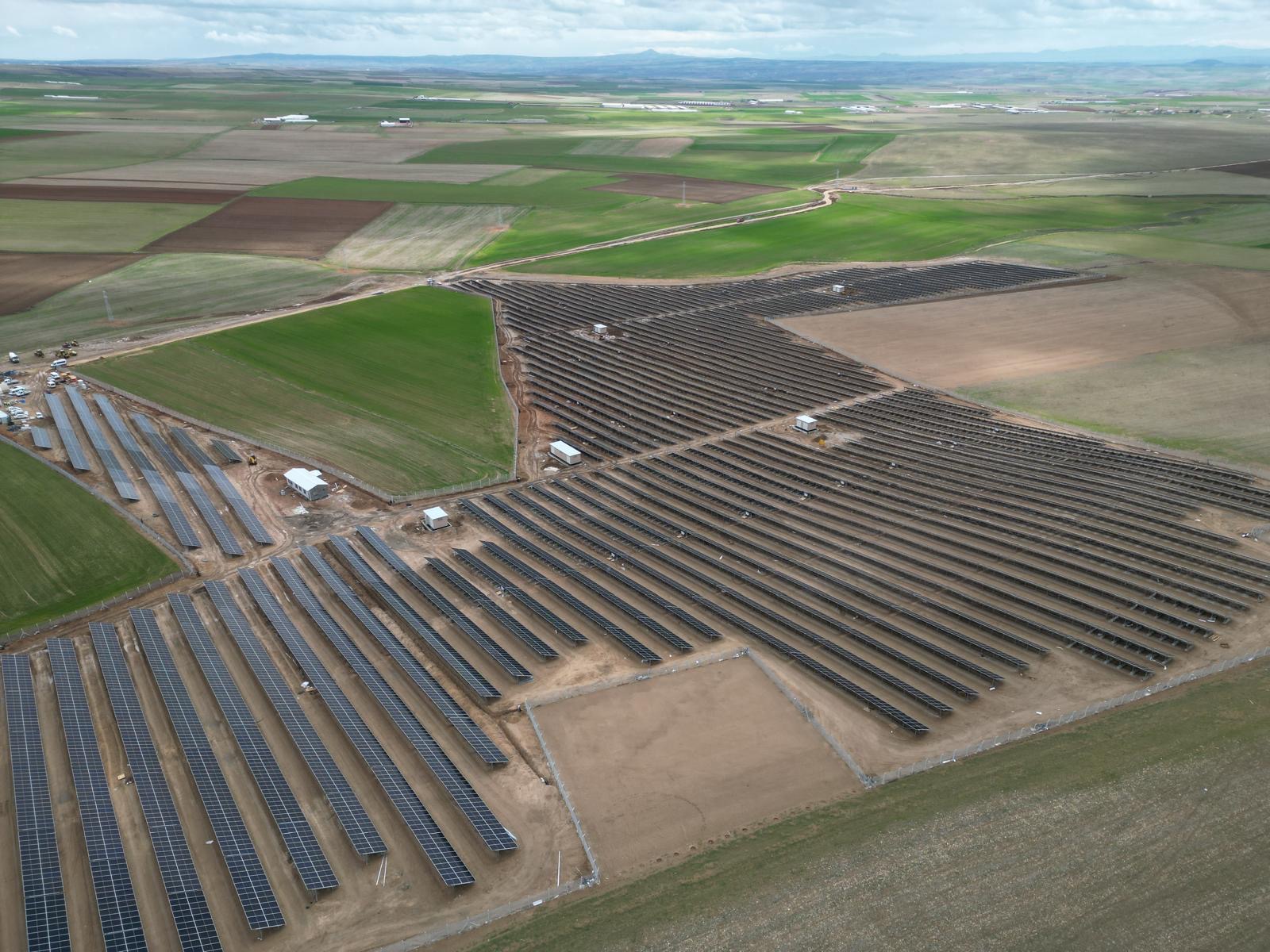
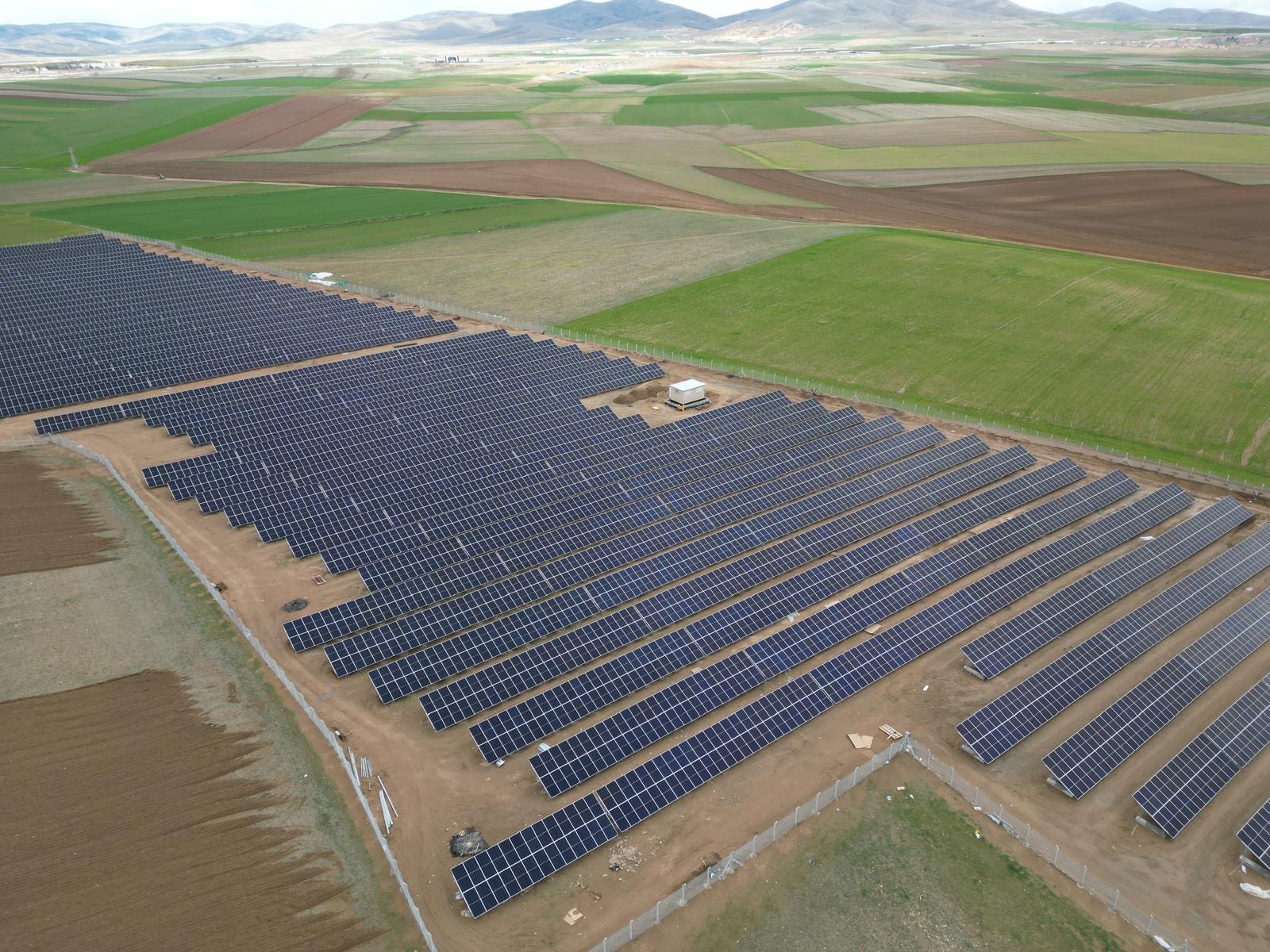
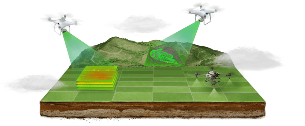
UAV (Unmanned Aerial Vehicle) mapping represents an advanced process that uses unmanned aerial vehicles for the acquisition of aerial imagery and the collection of precise geospatial data.
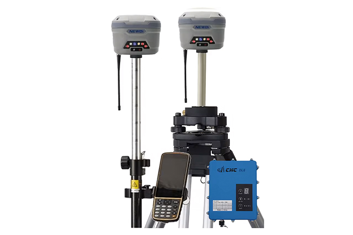
GPS Surveying Device
Device
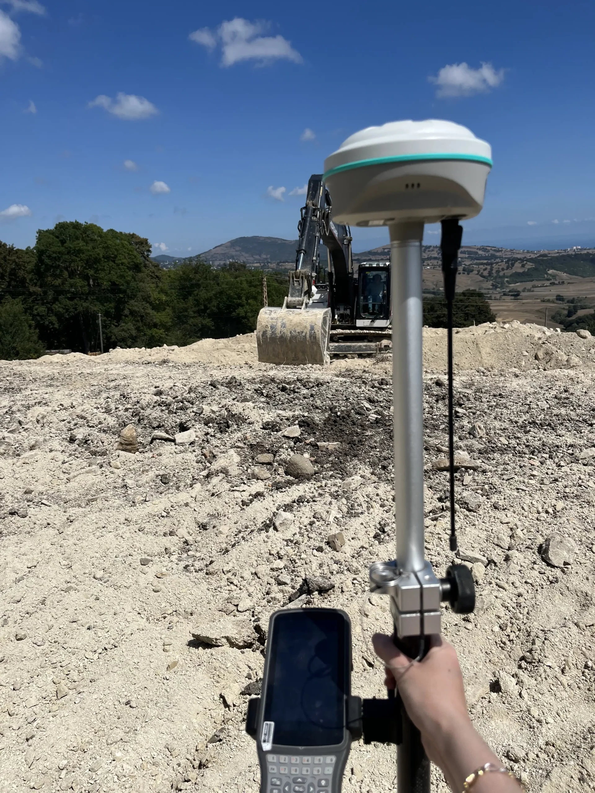
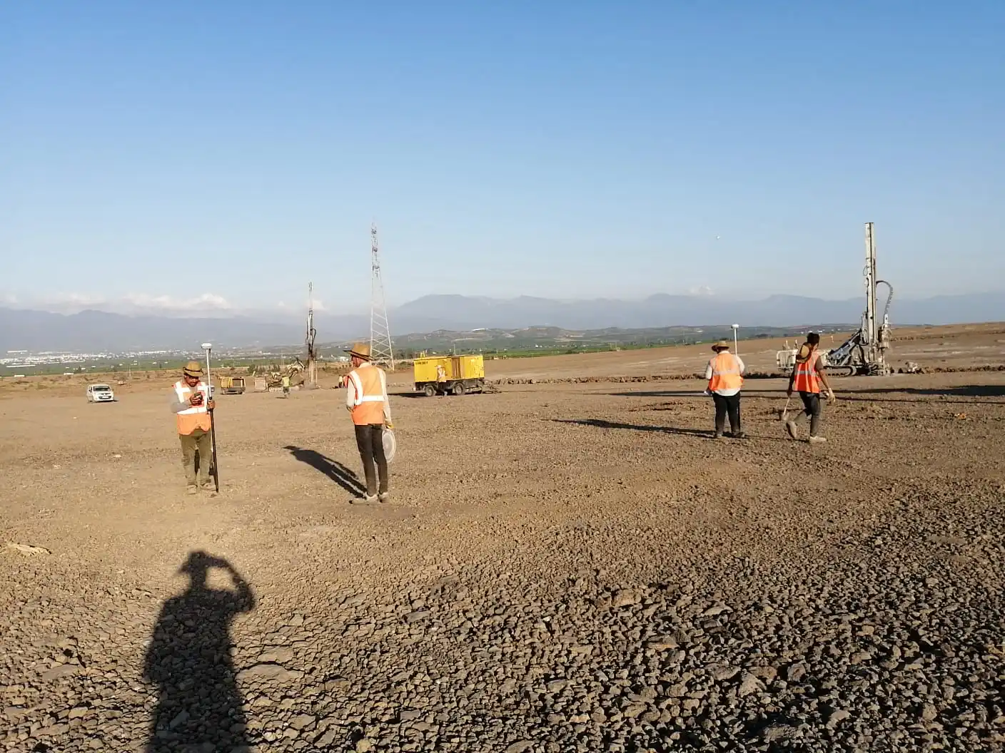
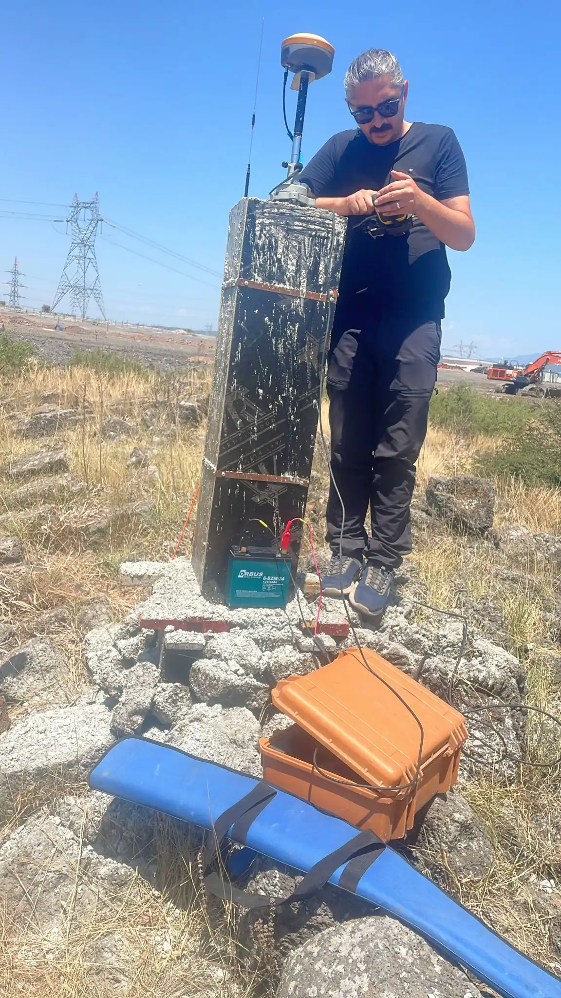
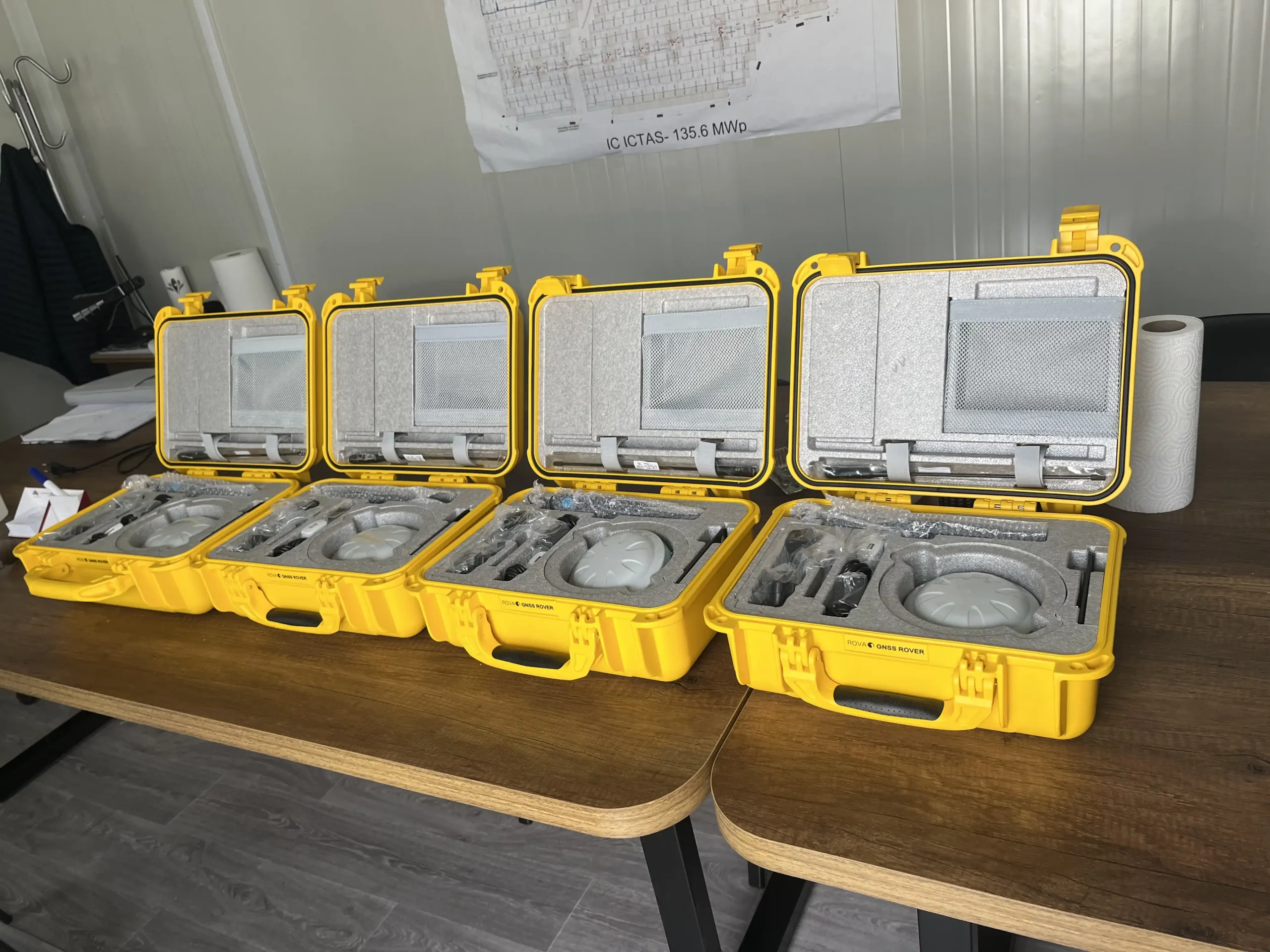
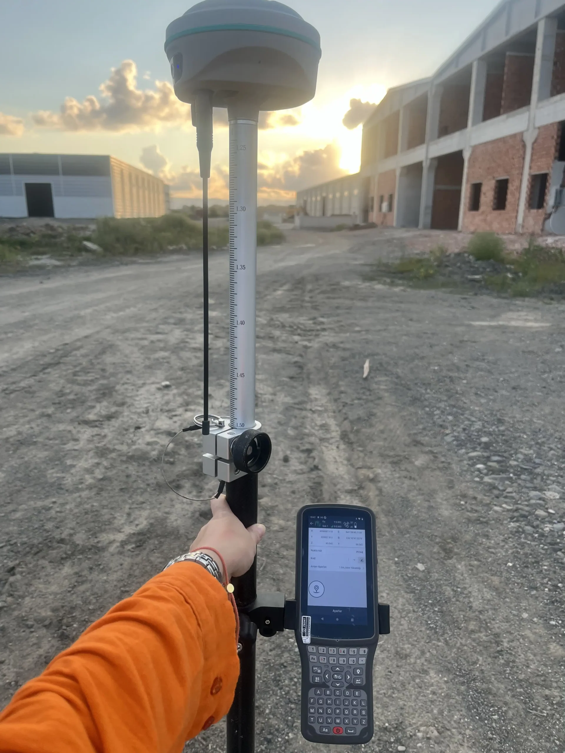
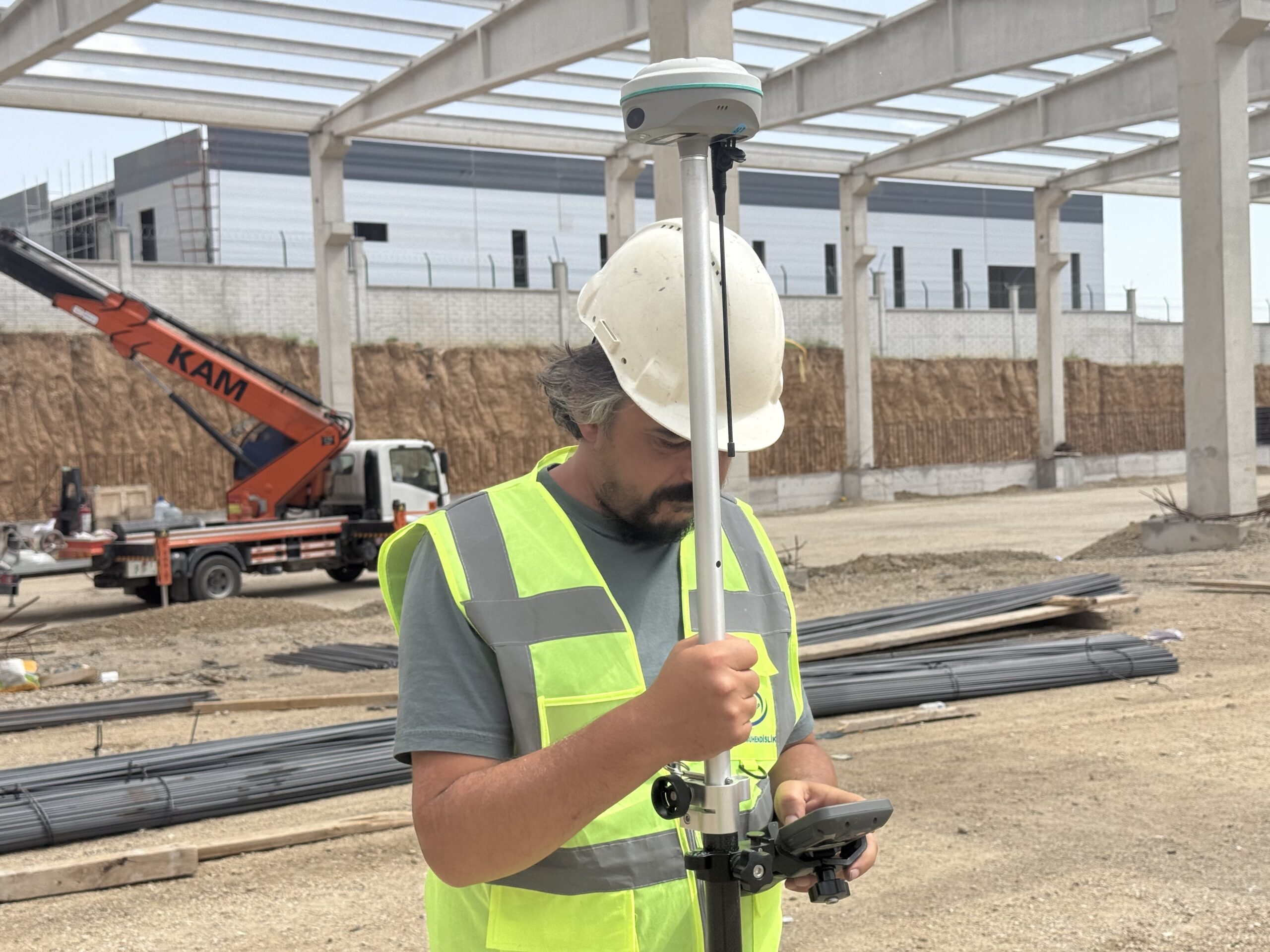
The Global Positioning System (GPS) represents a network of satellites used to determine exact positions on Earth. By measuring the distances between satellites and terrestrial receivers (fixed or mobile stations), this system enables the acquisition of high-precision coordinates for various surveying and engineering applications.
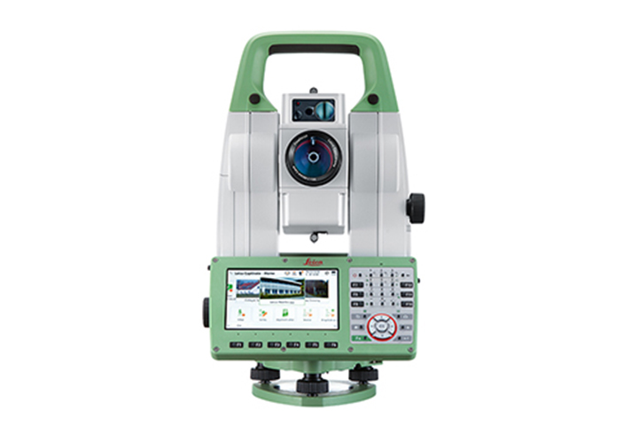
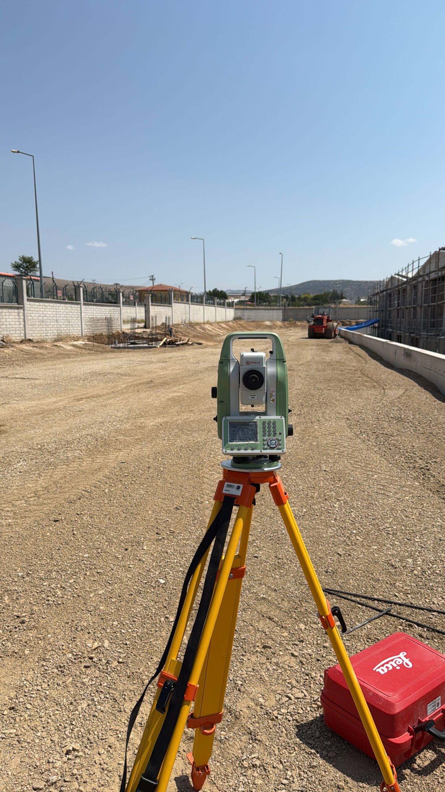
Total Station
Device
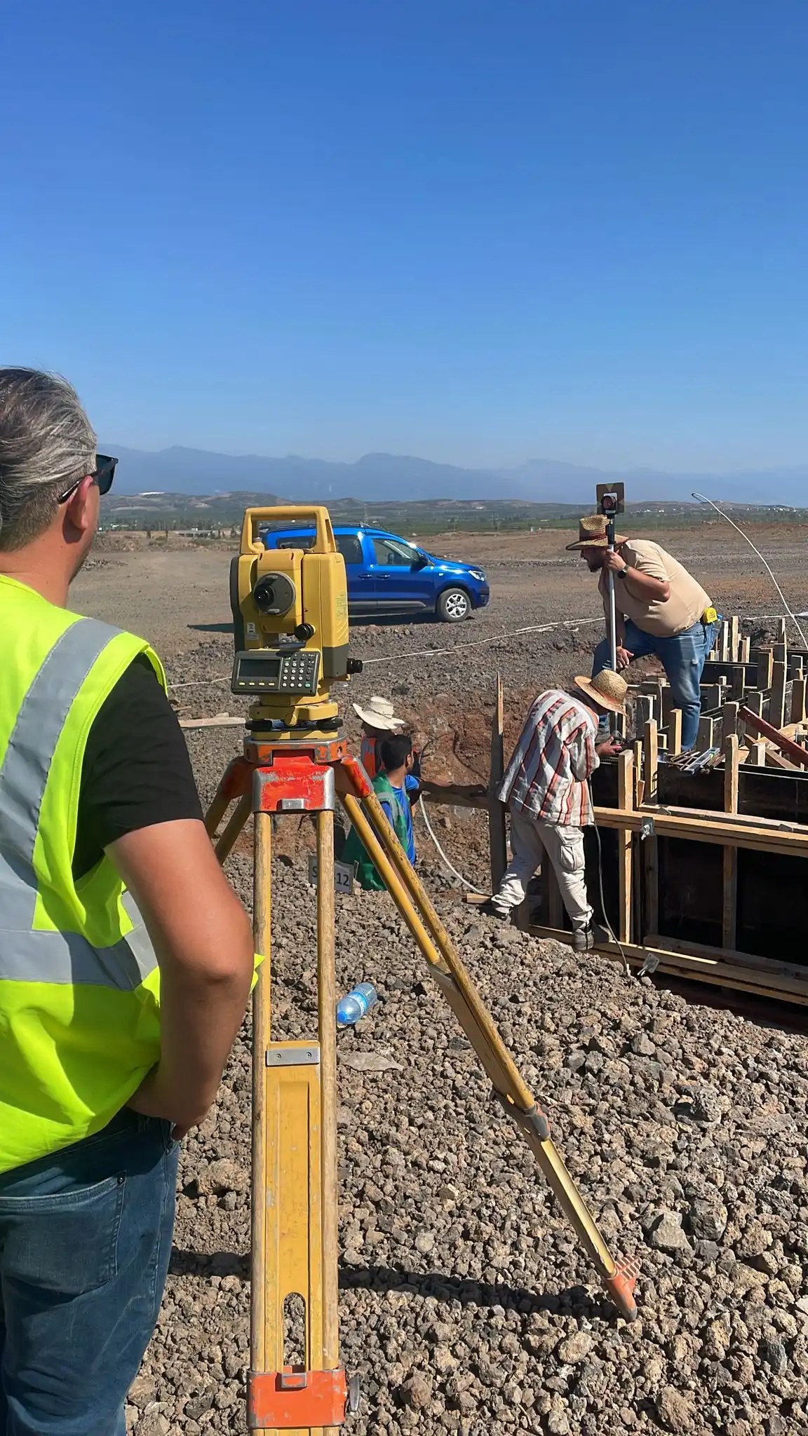
The total station is a complex surveying instrument used for precision measurements. It integrates distance and angle (horizontal and vertical) measurement functions, automatically calculating the coordinates (XYZ) of the measured points, making it essential for creating topographic plans and land surveys.
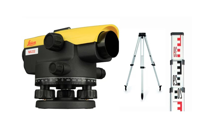
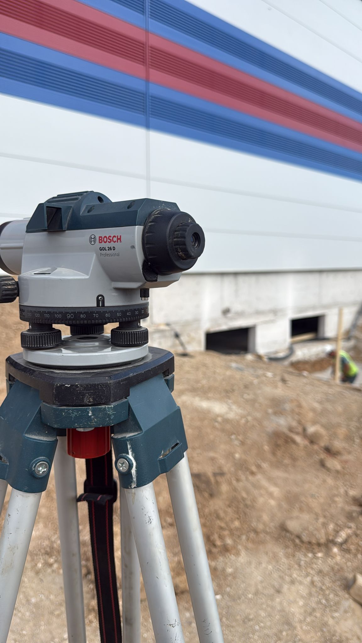
Optical
Device
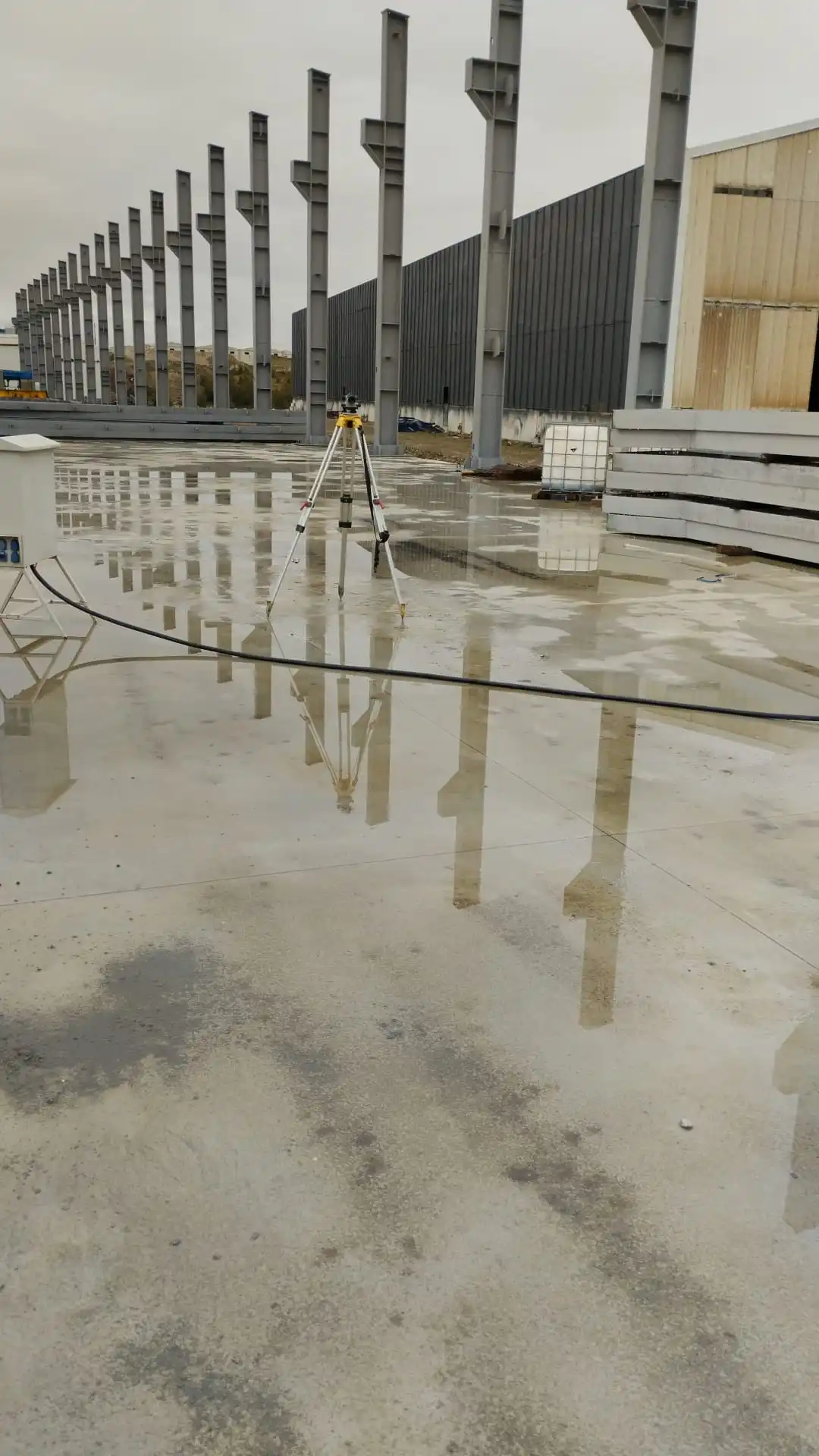
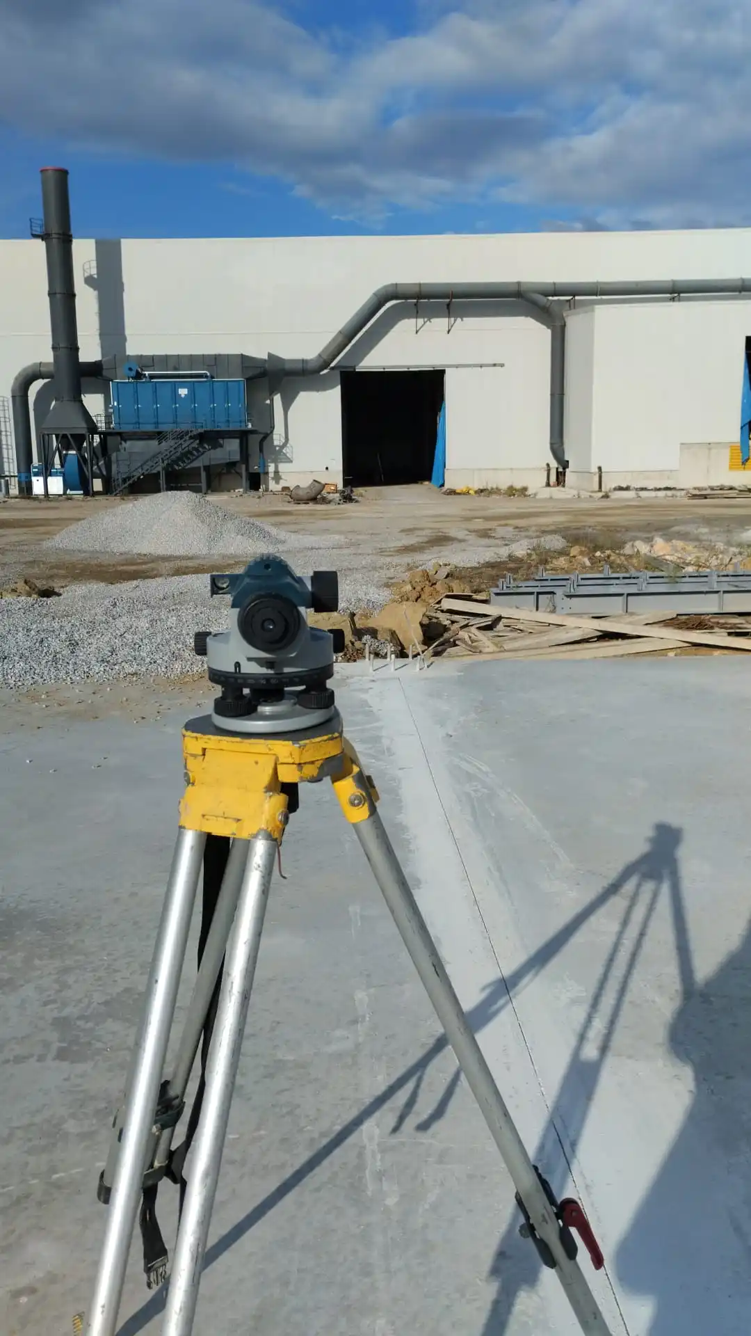
The level is an essential instrument used in surveying and construction to determine height differences and verify elevations. Optical or laser levels are indispensable in infrastructure, civil construction, road, and landscaping projects to ensure vertical elevation accuracy.