Tezpromap

LiDAR Scanning

LiDAR - An advanced, high-precision 3D measurement and mapping technology used for detailed visualization of the Earth's surface and structures.

Drone Mapping

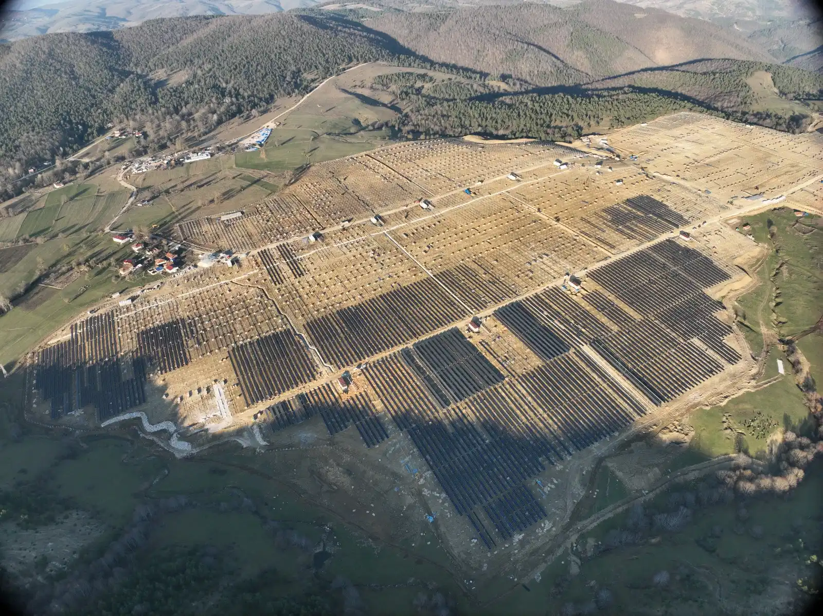
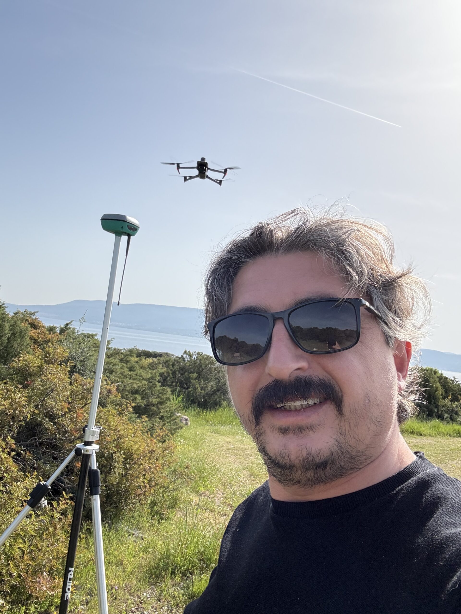
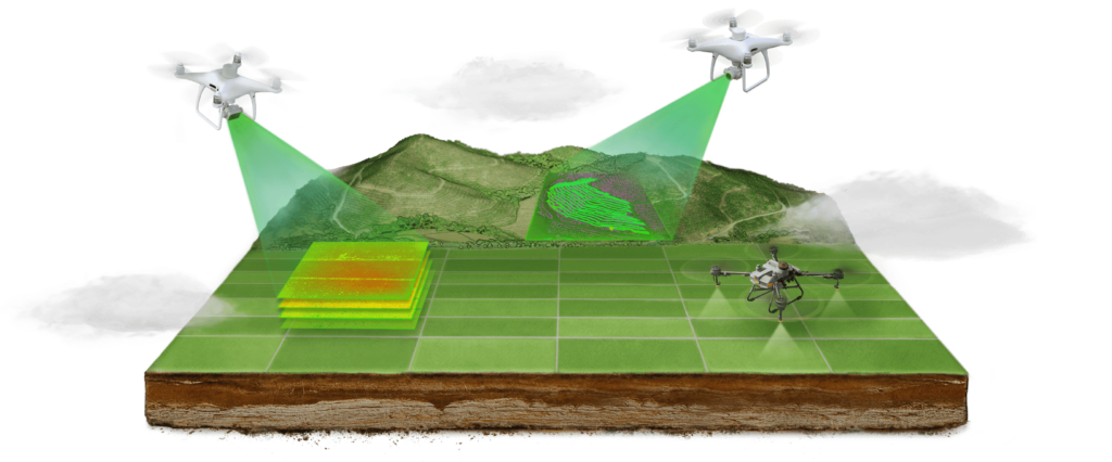
Drone mapping is a process where unmanned aerial vehicles use specialized sensors and cameras to scan the Earth's surface, creating detailed maps, 3D models, and geospatial data.

SOLAR PANEL HEALTH MONITORING

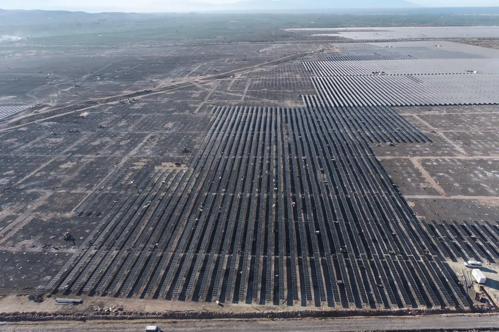
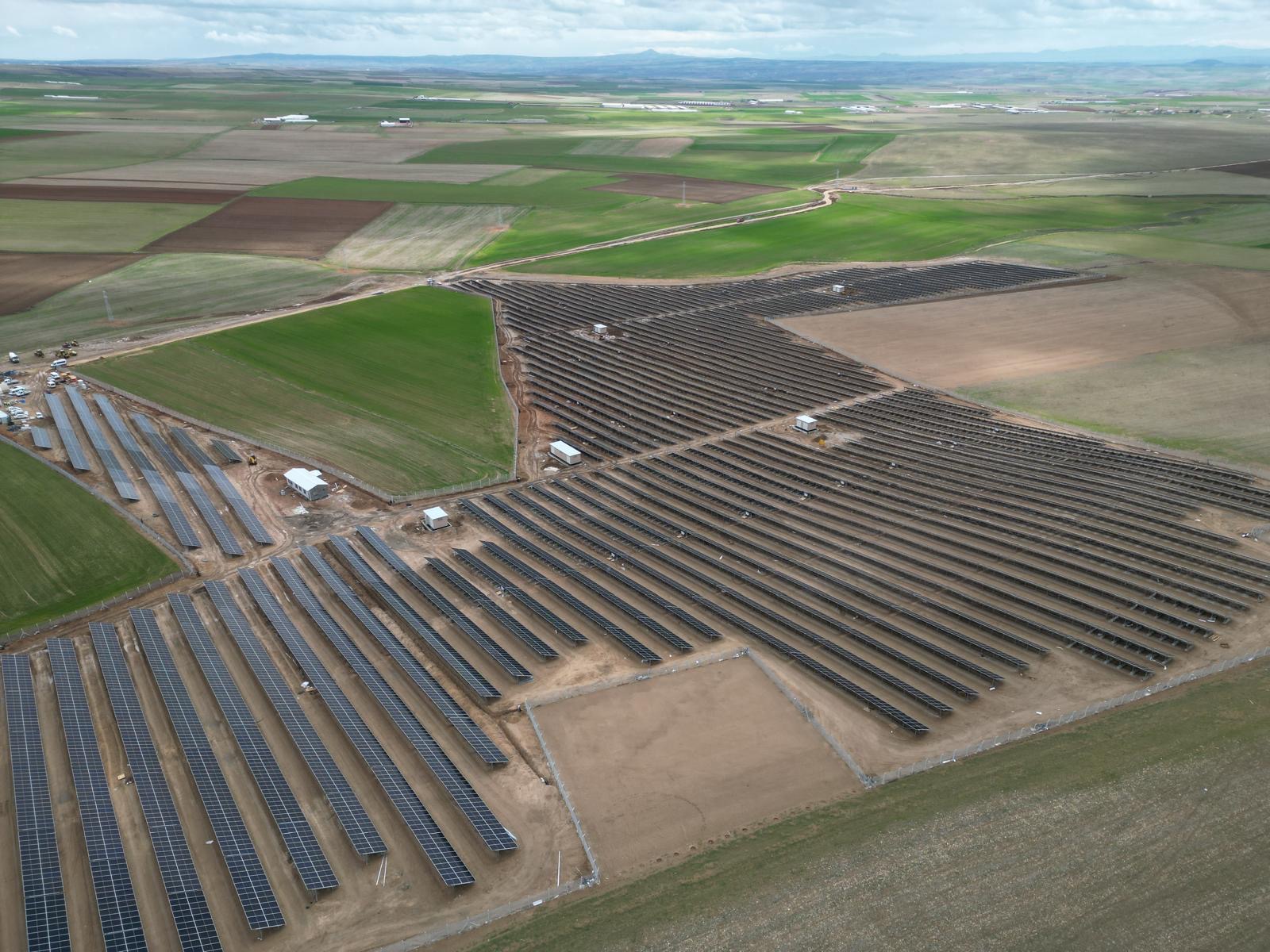
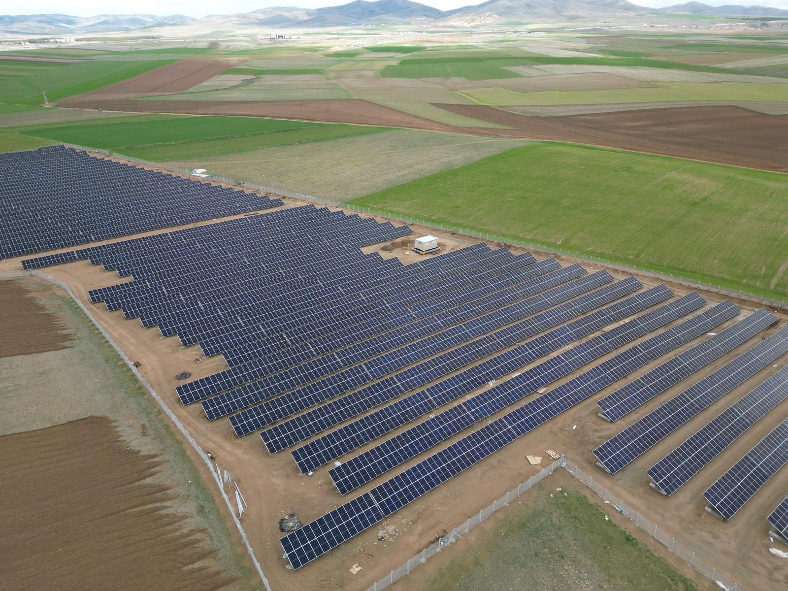
Advanced drone thermal inspections for photovoltaic parks. We identify cell defects and hotspots for maximum energy efficiency.

INFRASTRUCTURE SURVEYING SERVICES

Technical services and consultancy for all projects, such as roads, mines, tunnels, and similar projects, ensuring the best results through the research and development efforts of our expert teams.

Our Services

  • Our Services
Serviciile noastre integrate

Serviciile noastre integrate Serviciile noastre integrate Servicii de cartografiere, arhitectură, inginerie structurală și monitorizare a șantierului Compania noastră oferă soluții...

Load more

Sfârșitul conținutului.

OUR EQUIPMENT

Scanare laser terestră

Terrestrial Laser Scanning

Device
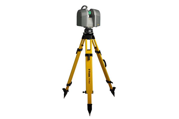
Through the static terrestrial laser scanning method, a high-density 3D point cloud is obtained, containing precise information about the coordinates (XYZ) of all scanned surface details, utilizing the Time-of-Flight measurement technology of the laser pulse.
Scanare subacvatică cu drone

Underwater Drone Scanning

Device
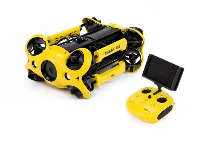
Underwater drones, known as ROVs (Remotely Operated Vehicles), are remotely controlled robotic systems capable of operating underwater, maneuvered by an operator at the surface or by a diver.
Cartografiere UAV

Drone Surveying

Device
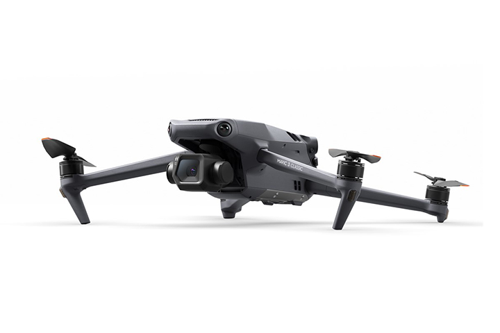
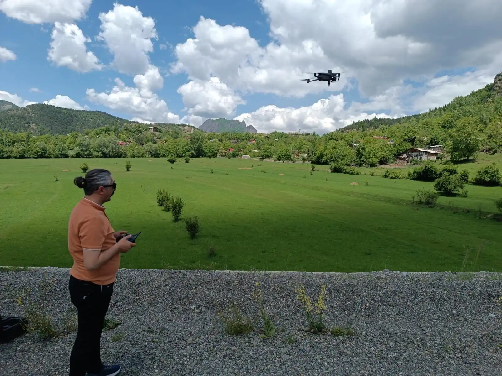
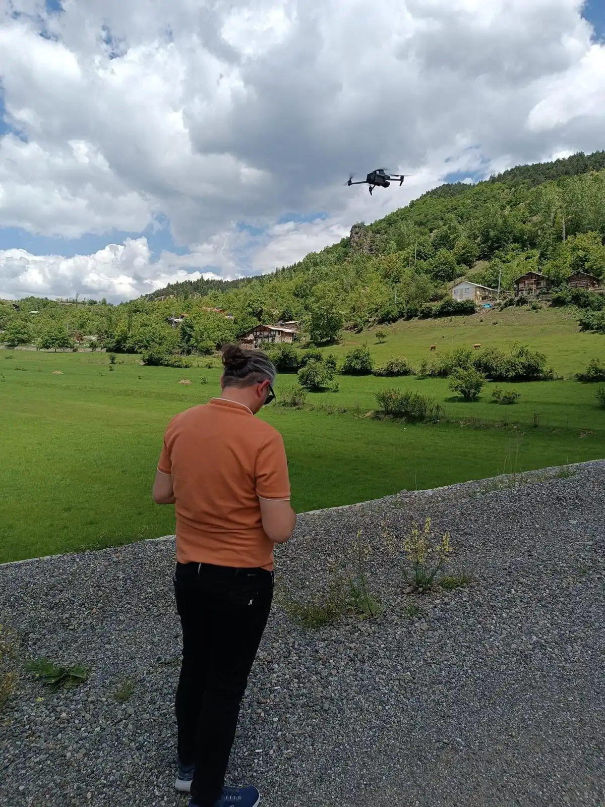
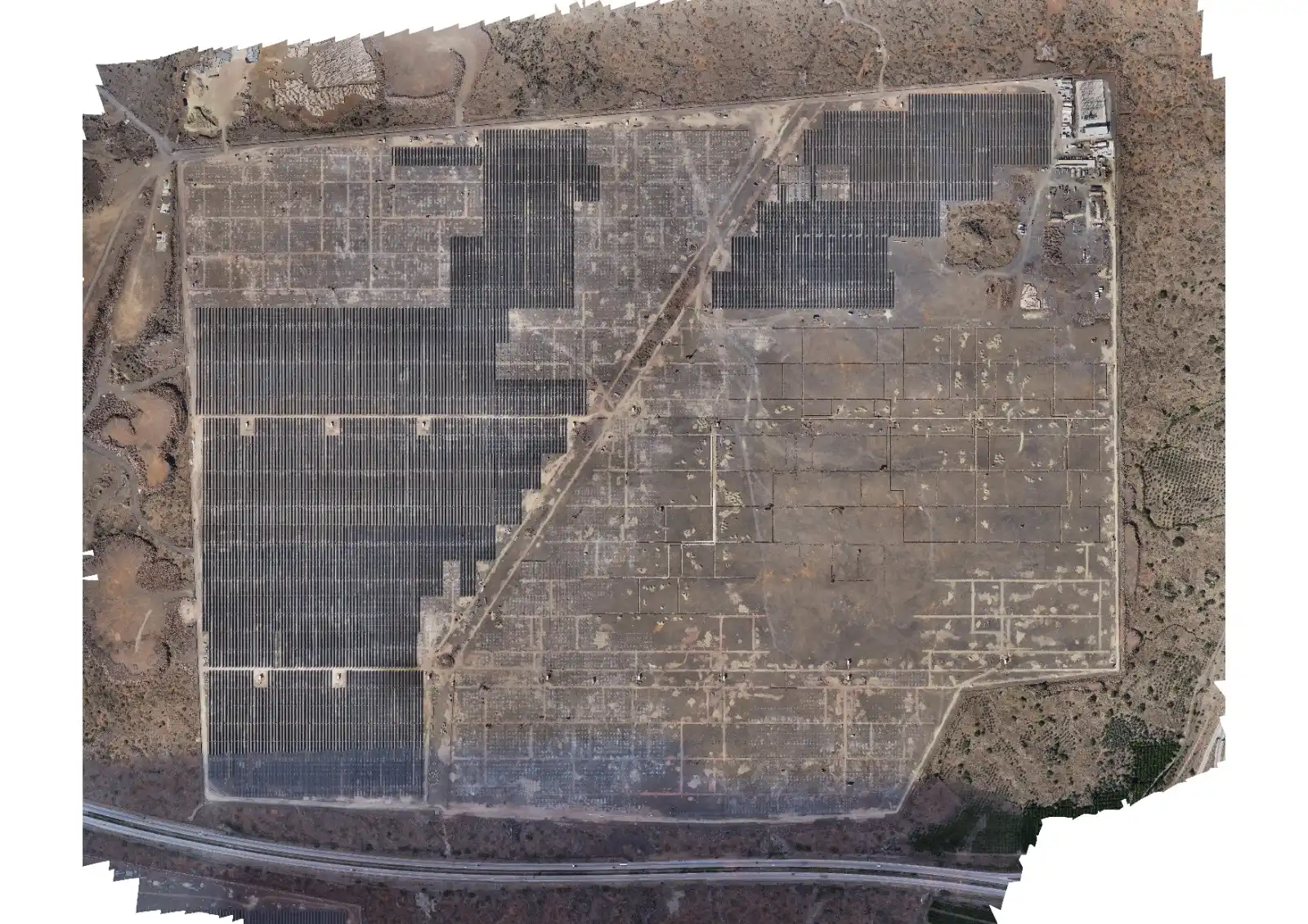
UAV (Unmanned Aerial Vehicle) mapping represents an advanced process that uses unmanned aerial vehicles for the acquisition of aerial imagery and the collection of precise geospatial data.
Dispozitiv de măsurare GPS

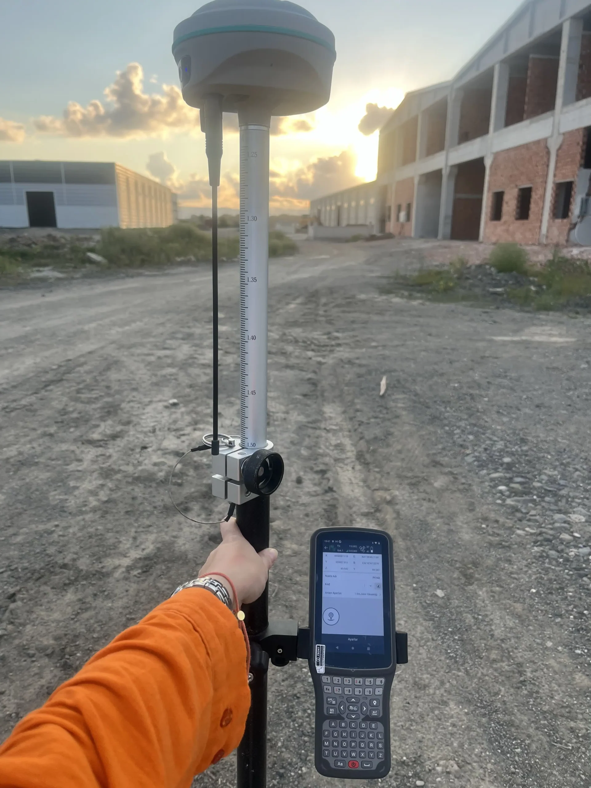
GPS Surveying Device

Device
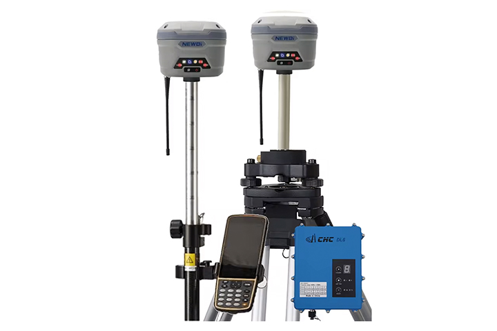
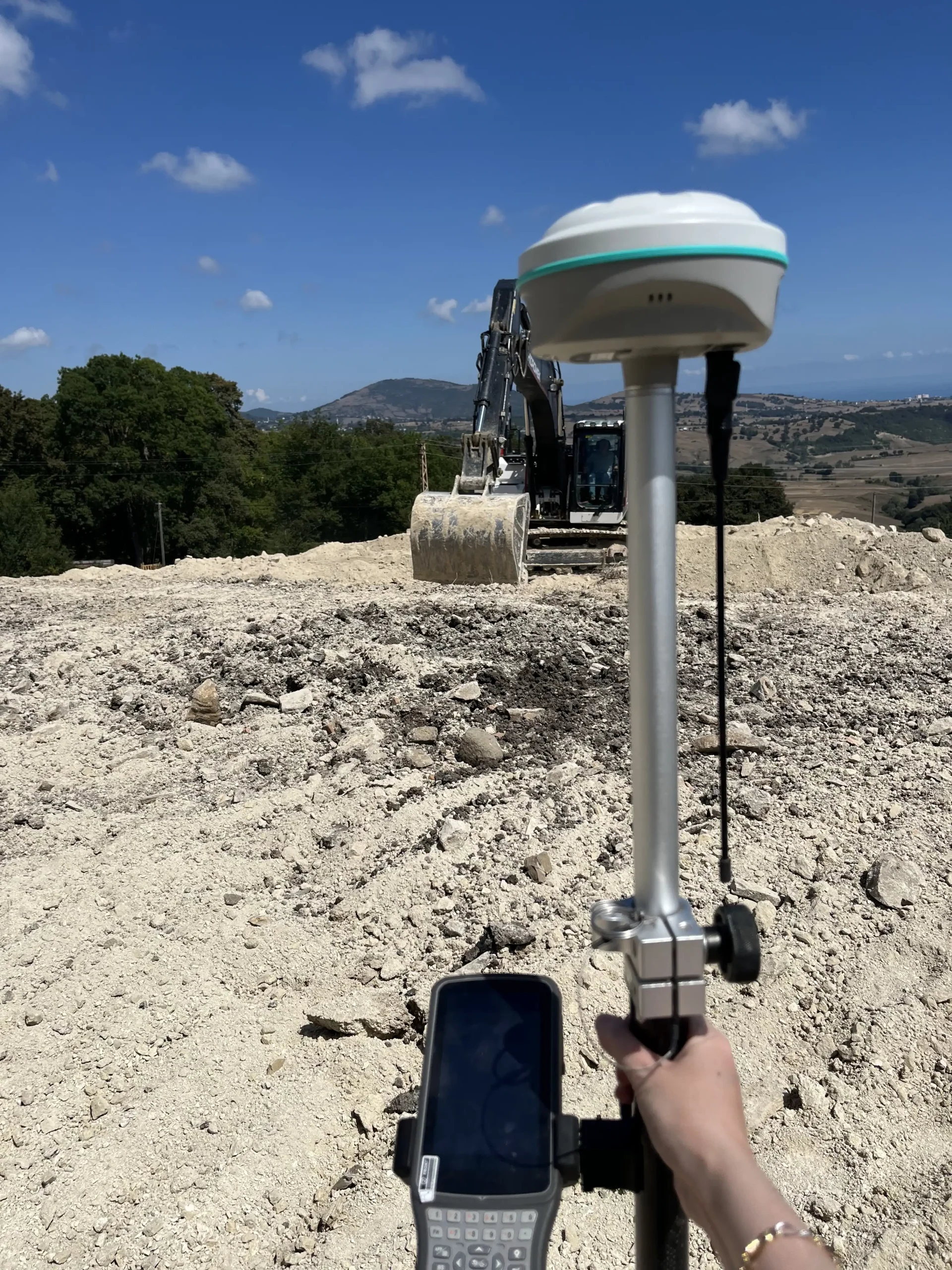
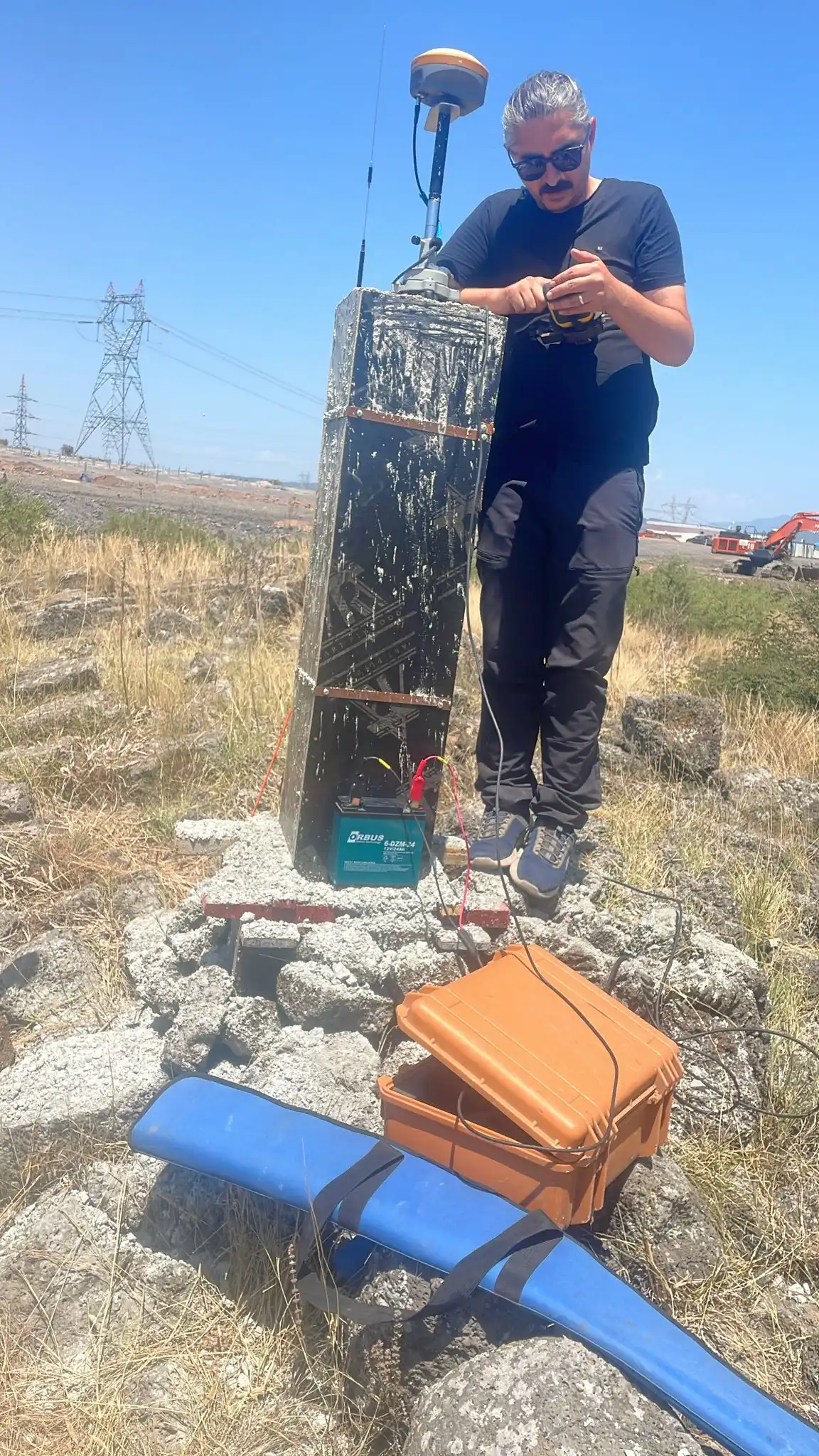
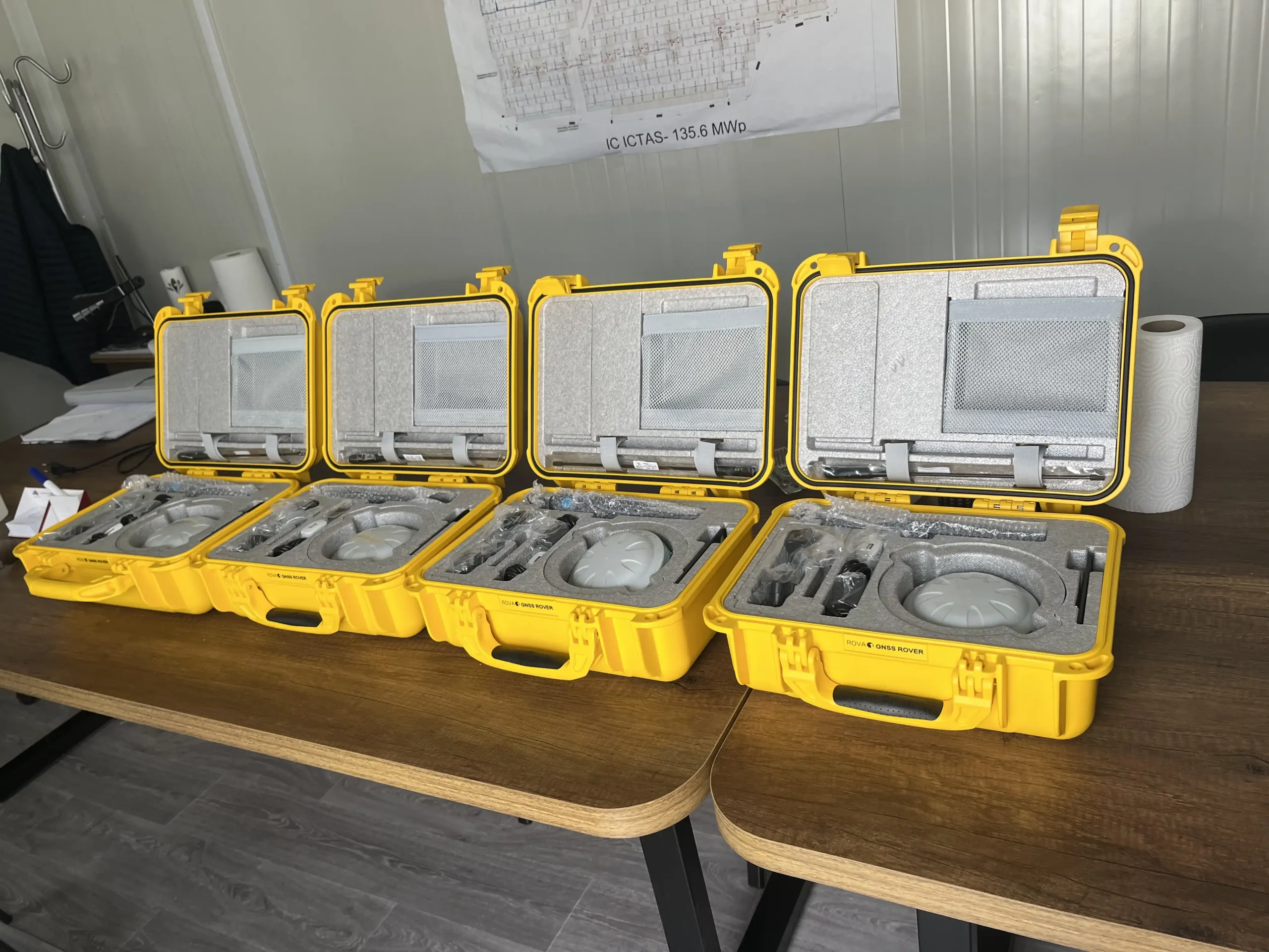
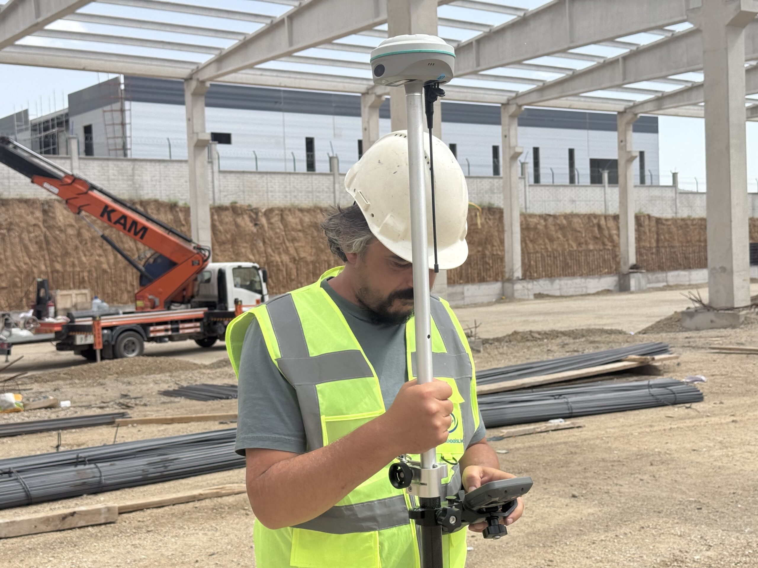
The Global Positioning System (GPS) represents a network of satellites used to determine exact positions on Earth. By measuring the distances between satellites and terrestrial receivers (fixed or mobile stations), this system enables the acquisition of high-precision coordinates for various surveying and engineering applications.
Stația totală

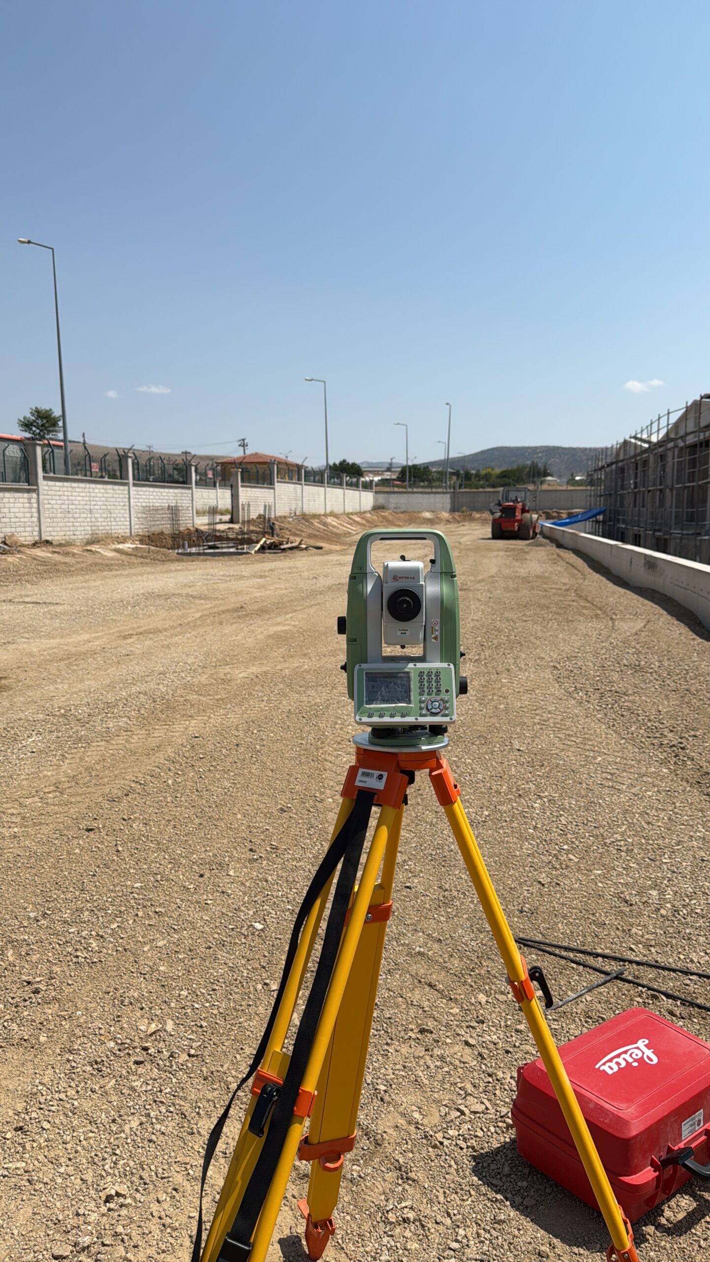
Total Station

Device
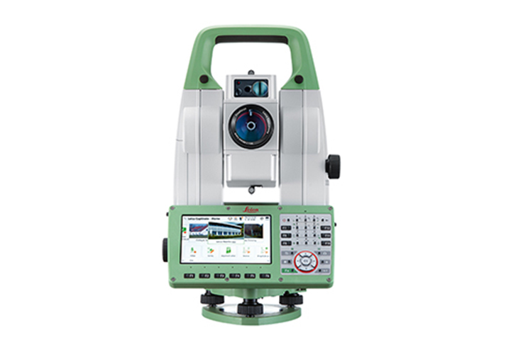
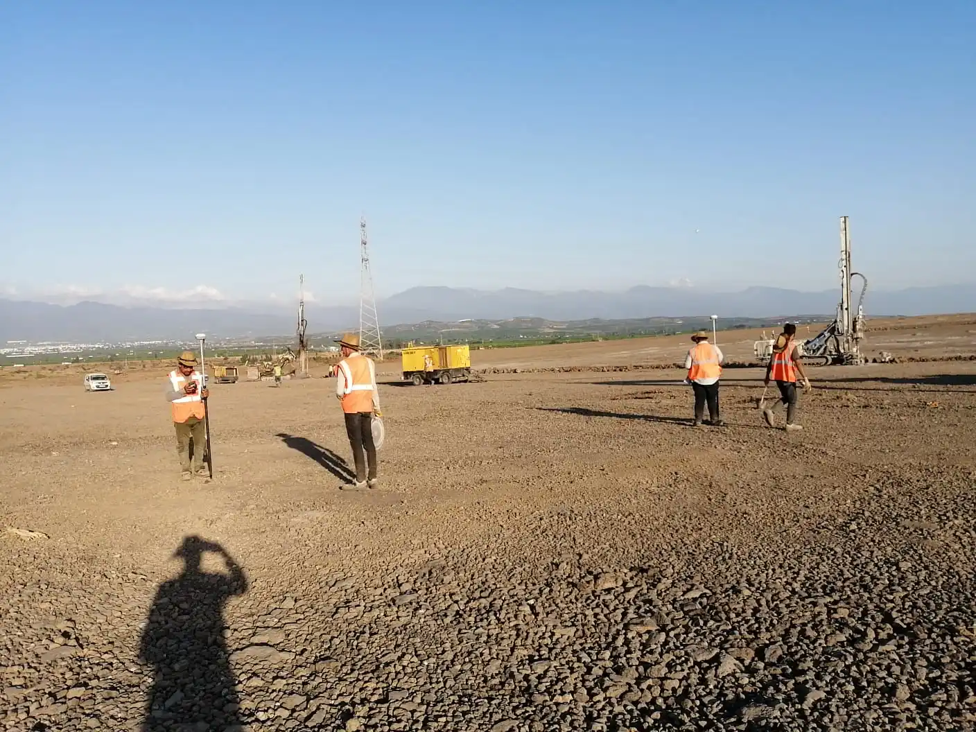
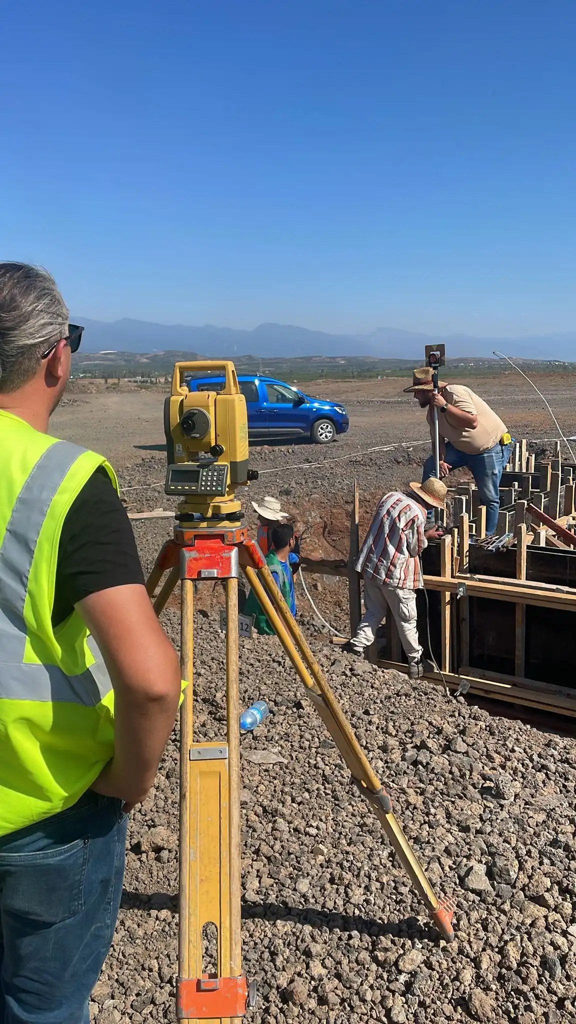
The total station is a complex surveying instrument used for precision measurements. It integrates distance and angle (horizontal and vertical) measurement functions, automatically calculating the coordinates (XYZ) of the measured points, making it essential for creating topographic plans and land surveys.
Nivel

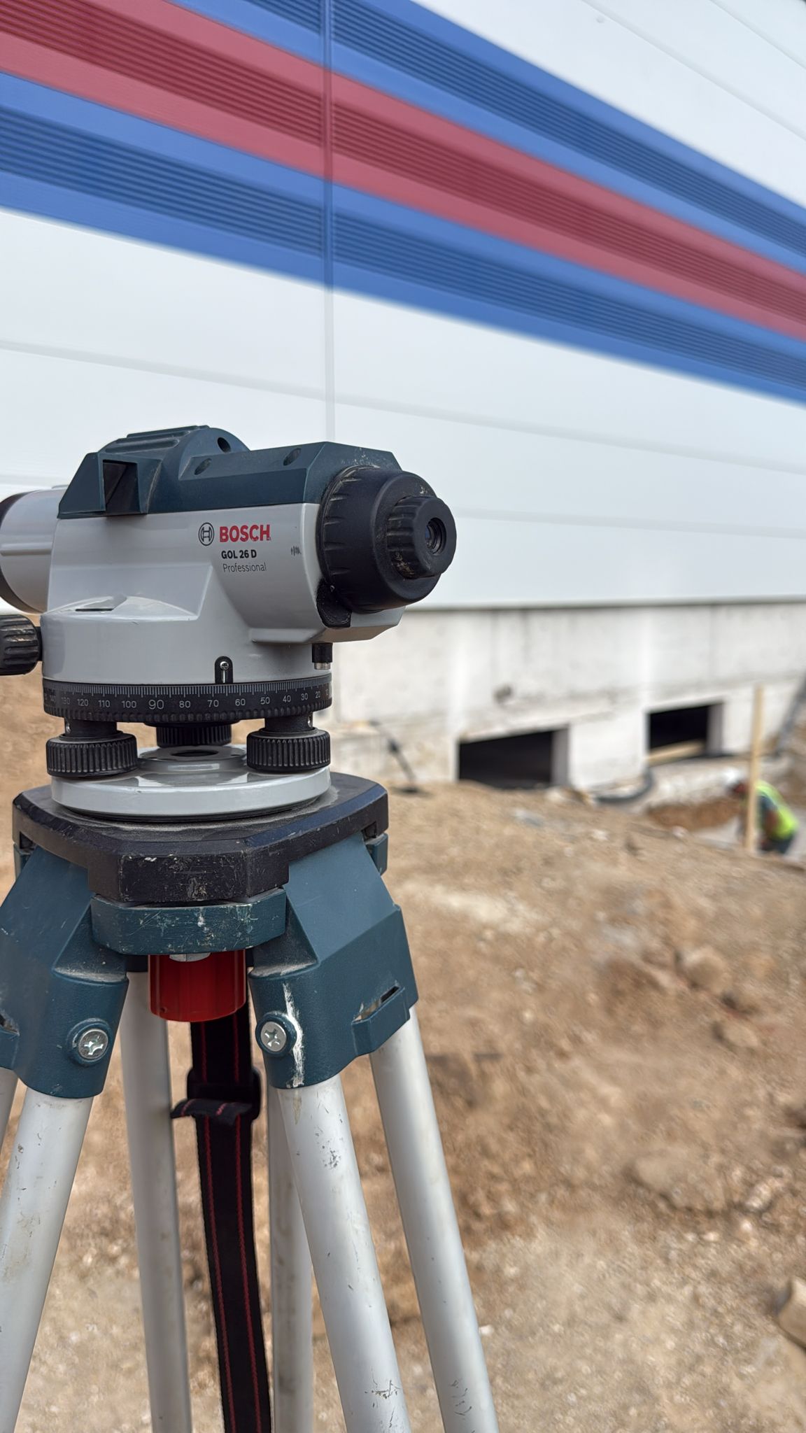
Optical

Device
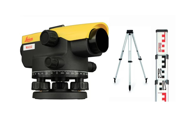
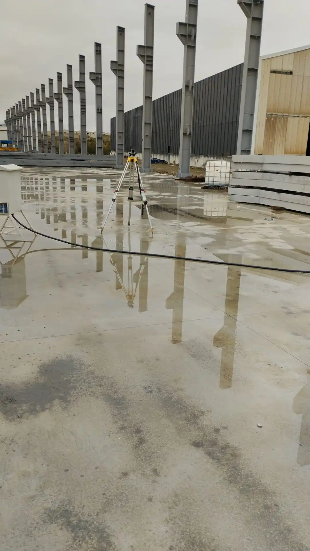
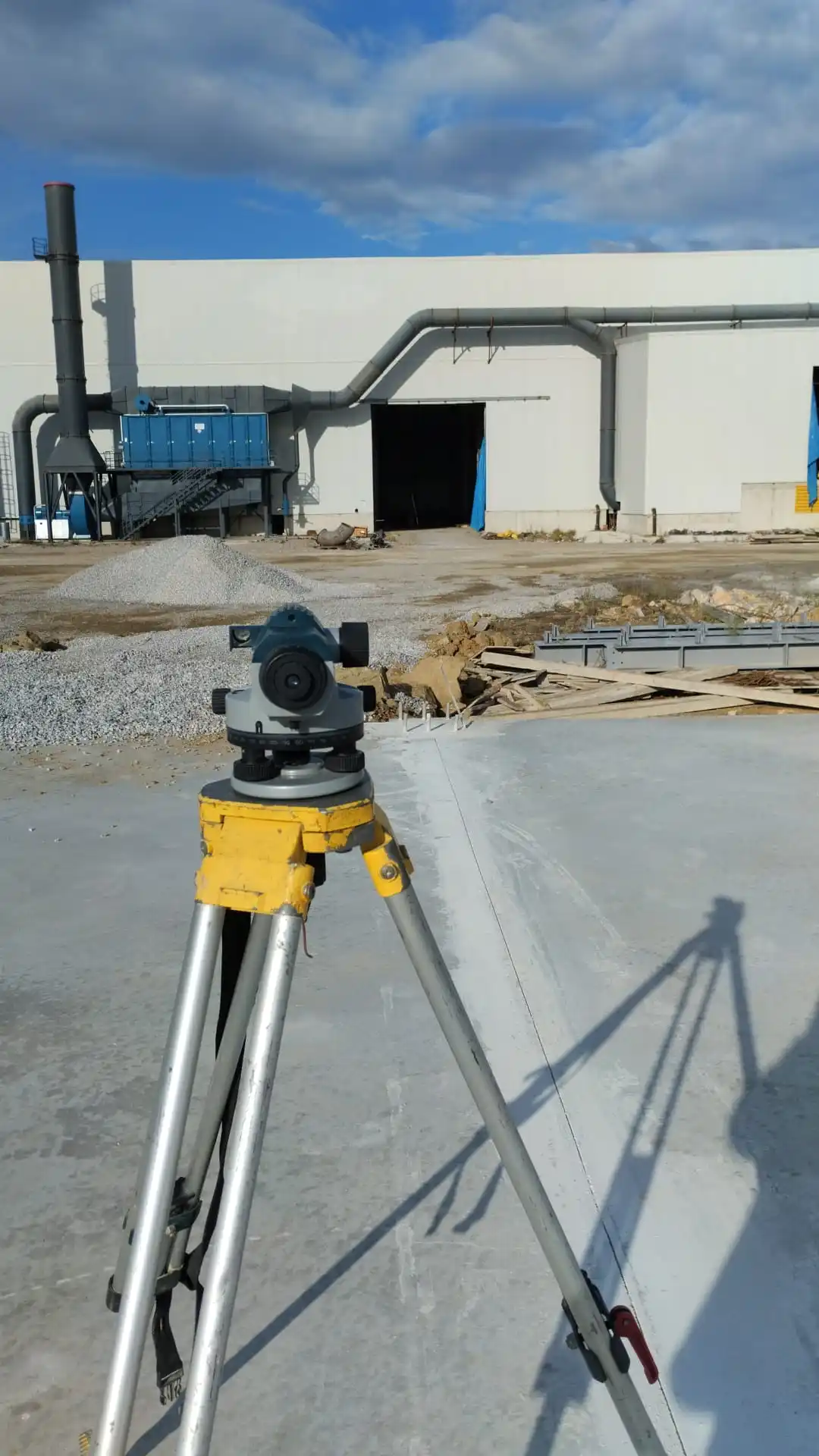
The level is an essential instrument used in surveying and construction to determine height differences and verify elevations. Optical or laser levels are indispensable in infrastructure, civil construction, road, and landscaping projects to ensure vertical elevation accuracy.

GALLERY

WHO WE ARE?

Tezpromap

TEZPROMAP Engineering offers the widest range of consultancy and engineering services in the surveying sector. We aim to provide solutions that benefit society, the environment, our employees, stakeholders, and the professional groups we collaborate with, on both a national and international scale, without compromising our professional ethical values.

  • Our Operations

    Our expertise demonstrated through successful projects.

  • Our Reference List

    We have achieved even greater things together.

SUPPORT

Do you have a new project?

To discuss your new project, please fill out the form below.